Cunene River
river, Africa
also spelled Kunene
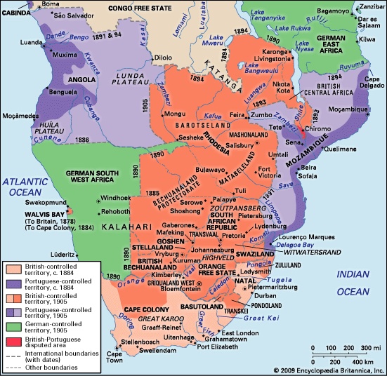
 river rising in west-central Angola, southwestern Africa. Its total length is 587 miles (945 km). The Cunene rises about 20 miles (32 km) northeast of Huambo. At Chiamelu, to the south, the river flows in a steep granite bed, but it leaves the granite uplands at Matala, falling about 42 feet (13 metres) before entering the northern portion of the Kalahari Desert, where in the wet season it floods the sands. The Matala Dam raises the river 26 feet (8 metres), giving a head of about 68 feet (21 metres) for hydroelectric generation. At Olushandja the river turns sharply westward, flowing over a series of rapids, then falling 230 feet (70 metres) at Ruacana Falls, where it is dammed for hydropower and irrigation (see Ruacana). From that point it forms the boundary between Angola and Namibia. About 50 miles (80 km) west, the river enters its gorge tract through the Zebra and Baynes mountains, which rise to a height of about 7,200 feet (2,200 metres) with the riverbed about 4,000 feet (1,200 metres) below. In this gorge tract are the Epupa (Montenegro) Falls, more than 100 feet (30 metres) high. The Cunene issues from the Baynes Gorge into the Namib Desert, where it generally has a small volume, before emptying into the Atlantic Ocean. The river's mouth is lagoonlike and closed in the dry season by a sandbar.
- Friedman, Thomas L.
- Friedman, William F; and Friedman, Elizebeth S
- Friedrich Adolf Paneth
- Friedrich Adolf Trendelenburg
- Friedrich Albert Lange
- Friedrich Arnold Brockhaus
- Friedrich August Johannes Löffler
- Friedrich August Quenstedt
- Friedrich August Wolf
- Friedrich, Baron Von Hügel von Hügel
- Friedrich Bayer
- Friedrich Bechtel
- Friedrich Bergius
- Friedrich Bouterwek
- Friedrich, Caspar David
- Friedrich Christian Diez
- Friedrich Chrysander
- Friedrich, Count von Thun und Hohenstein
- Friedrich Dahlmann
- Friedrich Daniel von Recklinghausen
- Friedrich Dollmann
- Friedrich Dürrenmatt
- Friedrich Ebert
- Friedrich Eduard Beneke
- Friedrich Engels