Google Earth
computer service
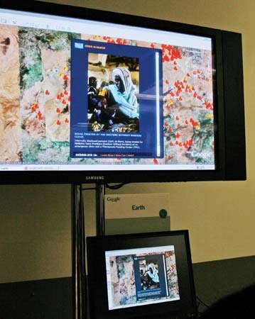 Web-based mapping service introduced in 2005 by the American search engine company Google Inc.
Google Earth allows users to call up on their computer screens detailed satellite images of most locations on the Earth. These maps can be combined (“mashedup (mashup)”) with various overlays—such as street names, weather patterns, crime statistics, coffee-shop locations, real estate prices, population densities, and so forth—supplied by other companies and individuals.
Google's commitment to privacy was questioned after it introduced a related mapping service, called Street View, that showed street-level photographs from around the United States that were searchable by street address. Some photographs provided a view through house windows or showed persons sunbathing. Google defended the service by saying that the images showed only what a person could see if walking down the street.
In October 2008, Google Earth for the iPhone and the iPod Touch was released as a downloadable application from Apple Inc.'s Internet-based iTunes Store. With support for the accelerometer (motion detector) in Apple's portable devices, this version of Google Earth adjusts 3-dimensional map perspectives as the devices are tilted.
- Bochart de Saron, Jean-Baptiste-Gaspard
- Bocher, Joan
- Bochner, Salomon
- Bocholt
- Bochum
- Bock, Fedor von
- Bock, Hieronymus
- Bocskay, István
- Bocuse, Paul
- Bodawpaya
- Bode, Boyd H.
- Bode, Johann Elert
- Bodel, Jehan
- Bodenheim, Maxwell
- Bodenstedt, Friedrich Martin von
- Bode's law
- Bode, Wilhelm von
- Bodh Gaya
- bodhi
- Bodhidharma
- bodhisattva
- Bodichon, Barbara Leigh Smith
- Bo Diddley
- Bodil Ipsen
- Bodin, Jean